Precision Surveying and Mapping with Premium Positioning's RTK Network
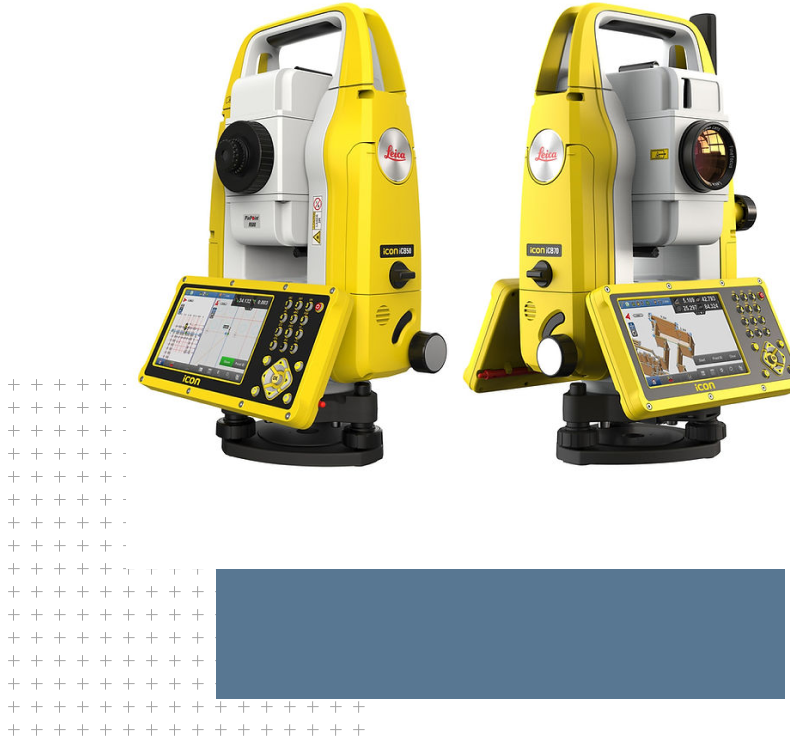
Surveying and mapping are essential components of many industries, from construction to land management. Premium Positioning’s RTK network provides the accuracy and reliability needed for these tasks. Our network offers centimeter-level accuracy, ensuring that surveyors and mappers can make precise measurements and create accurate maps. This means they can create topographic maps with greater detail, perform boundary and land title surveys with greater accuracy, and map utility assets with greater precision. Our network is also highly scalable, making it suitable for projects of all sizes, from small construction sites to large-scale infrastructure projects.
Premium Positioning’s RTK network is an ideal solution for surveying and mapping applications. Our network provides surveyors and mappers with the accuracy and reliability needed to create highly detailed maps and perform accurate measurements. With our RTK network, surveyors and mappers can create topographic maps with greater detail, perform boundary and land title surveys with greater accuracy, and map utility assets with greater precision. Our network also offers user-friendly features such as real-time data visualization and remote support, making it a convenient and efficient solution for surveyors and mappers of all sizes.