Free Phone
Main Office
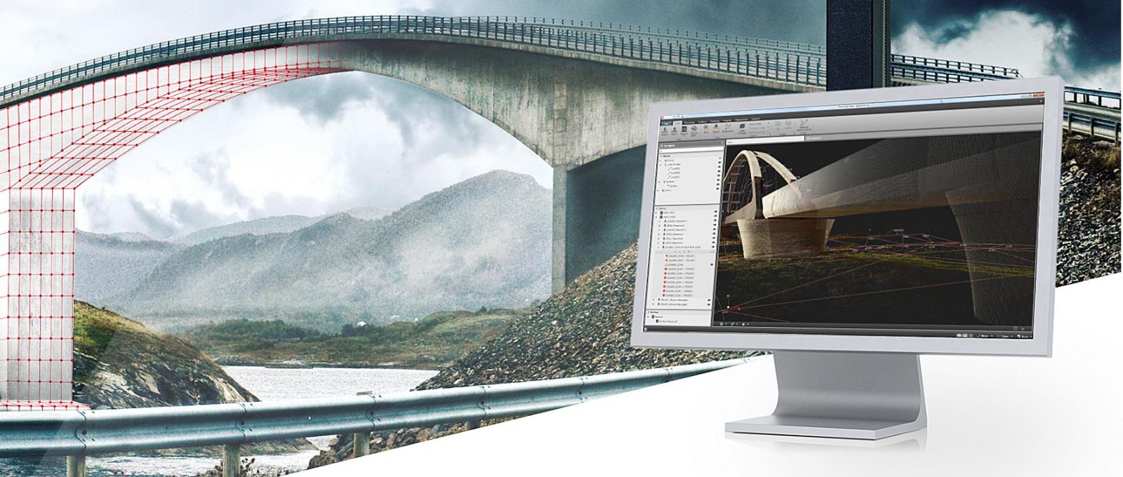
A1 Survey can provide a full range of surveying and engineering software solutions, that compliment our range of technical products, providing the complete package in house.  If you have a particular requirement, please contact us for more information and an unbiased opinion to find a solution that will meet your specific needs.

Software including Desktop & Field Controllers

LSS DTM Software

LSS is a complete land survey, terrain modelling, volume, design and visualisation package.
£250.00
(Inc £300.00)
Surpad 4.2 for Android

Surpad 4.2 for Android

Powerful mapping and surveying software for Android Controllers
£375.00
(Inc £450.00)
tcpGPS for Android V2

tcpGPS for Android V2

tcpGPS for Android is a field application for surveys and stake-outs with GPS/GNSS receivers. It lets you capture survey data, work with maps and cartography, and stake out points and linear works, connecting field information with technical office workflows.
£450.00
(Inc £540.00)
tcpmdt standard

tcpMDT Standard V25

Software for topographic surveys, terrain modelling, contour lines, profiles and volumes.
£1150.00
(Inc £1380.00)
3D Survey (Drone & DTM)

3D Survey (Drone & DTM)

One package solution – customizable scalability 3Dsurvey is a comprehensive photogrammetry software solution with the capability to process and classify data from any input. Created with the practical needs of surveyors in mind, it is an agile and versatile tool, useful for many different industries.
£3000.00
(Inc £3600.00)