Free Phone
0800 689 3145
/
Main Office
029 2088 4402
Contact
My Account
My Cart
(£0.00)
Toggle navigation
On-line Store
Accessories
Detection & Safety
GPS Equipment
Inspection & Test Equipment
Laser Equipment
3D Machine Control
Survey Equipment
Used Equipment
Manufacturers
Survey Equipment
Autolevels, Dumpy & Digital
Datalogger\Controller
GPS\GNSS
Leica ICON
Laser\LIDAR Scanners
Laser Distance Measure
Software
Theodolites
Total Stations
Used Equipment
Laser Equipment
Laser Levels
Machine Guidance
Detectors\Receivers
GPS Equipment
E-Survey GNSS
Geomax GNSS
Leica GNSS
Topcon GNSS
GNSS Accessories
RTK Correction Services
3D Machine Control
Excavators
Unicontrol GNSS Rover
Hire
Categories
Accessories
+
Adapters
Bags & Cases
Batteries & Chargers
General
GNSS Accessories
Laser Accessories
Marking
Measuring Tapes & Wheels
Monitoring
Prism Poles & Staves
Prism & Prism Stations
RAM Mounts
Tribrachs & Adpaters
Tripods
Rothbucher System Survey
Detection & Safety
+
Access Equipment
Cable Avoidance Tools
+
Ezi System Cable Locators
C-Scope Cable Avoidance
Radiodetection CATS
Cable Avoidance Accesories
Cobra Reels
Concrete Testing
Confined Space Equipment
Gas Detection
Ground Penetrating Radar
Harnesses & Kits
Height Safety
Metal Detectors
Moisture Meters
Portable Lighting
+
JCB Lighting
Ritelite
Sound & Noise Meters
Temperature
Two Way Radios
Videoscopes\Boroscopes
GPS Equipment
+
E-Survey GNSS
Geomax GNSS
Leica GNSS
Topcon GNSS
GNSS Accessories
RTK Correction Services
Inspection & Test Equipment
+
Drain Cameras
Concrete Testing
Gas Detection
Moisture Meters
Videoscopes\Boroscopes
Sound & Noise Meters
Temperature
Metal Detectors
3D Machine Control
+
Excavators
Unicontrol GNSS Rover
Survey Equipment
+
Autolevels, Dumpy & Digital
+
Automatic Optical Levels
Electronic Digital Levels
Datalogger\Controller
GPS\GNSS
+
E-Survey GNSS
Geomax GNSS
Leica GNSS
GNSS Accessories
Leica ICON
Laser\LIDAR Scanners
Laser Distance Measure
Software
Theodolites
Total Stations
+
E-Survey Total Stations
Geomax Total Stations
Leica Total Stations
Topcon Total Stations
Used Equipment
+
Used Total Stations
Used Lasers
Used - Miscellaneous
Used GPS
Used Equipment
+
Used Total Stations
Used Lasers
Used - Miscellaneous
Used GPS\GNSS
Manufacturers
+
Leica Geosystems
GeoMax
Topcon
E-Survey
Spectra Precision
+
Spectra Laser Measurer
Spectra Auto-levels
Spectra Theodolite
Spectra Lasers
Proshot
X-Pad
LSS
Nivel System
Radiodetection
Vivax Metrotech
Cable Detection
RAM Mounts
Technical Support
+
Manuals
+
Instruments
Software
Downloads
Videos
E Survey Technical Support
+
Manuals
Downloads
Video Tutorials
More Information
About Us
Hire
Repair & Calibration
Refund Policy
Catalogues
Training
Finance Options
Privacy Policy
Terms & Conditions
Contact Us
Fast Next Day Delivery
Great Prices and Deals
Secure Ordering
Free Phone
0800 689 3145
/
Main Office
029 2088 4402
My Account
My Basket
Categories
Accessories
+
Adapters
Bags & Cases
Batteries & Chargers
General
GNSS Accessories
Laser Accessories
Marking
Measuring Tapes & Wheels
Monitoring
Prism Poles & Staves
Prism & Prism Stations
RAM Mounts
Tribrachs & Adpaters
Tripods
Rothbucher System Survey
Detection & Safety
+
Access Equipment
Cable Avoidance Tools
+
Ezi System Cable Locators
C-Scope Cable Avoidance
Radiodetection CATS
Cable Avoidance Accesories
Cobra Reels
Concrete Testing
Confined Space Equipment
Gas Detection
Ground Penetrating Radar
Harnesses & Kits
Height Safety
Metal Detectors
Moisture Meters
Portable Lighting
+
JCB Lighting
Ritelite
Sound & Noise Meters
Temperature
Two Way Radios
Videoscopes\Boroscopes
GPS Equipment
+
E-Survey GNSS
Geomax GNSS
Leica GNSS
Topcon GNSS
GNSS Accessories
RTK Correction Services
Inspection & Test Equipment
+
Drain Cameras
Concrete Testing
Gas Detection
Moisture Meters
Videoscopes\Boroscopes
Sound & Noise Meters
Temperature
Metal Detectors
3D Machine Control
+
Excavators
Unicontrol GNSS Rover
Survey Equipment
+
Autolevels, Dumpy & Digital
+
Automatic Optical Levels
Electronic Digital Levels
Datalogger\Controller
GPS\GNSS
+
E-Survey GNSS
Geomax GNSS
Leica GNSS
GNSS Accessories
Leica ICON
Laser\LIDAR Scanners
Laser Distance Measure
Software
Theodolites
Total Stations
+
E-Survey Total Stations
Geomax Total Stations
Leica Total Stations
Topcon Total Stations
Used Equipment
+
Used Total Stations
Used Lasers
Used - Miscellaneous
Used GPS
Used Equipment
+
Used Total Stations
Used Lasers
Used - Miscellaneous
Used GPS\GNSS
Manufacturers
+
Leica Geosystems
GeoMax
Topcon
E-Survey
Spectra Precision
+
Spectra Laser Measurer
Spectra Auto-levels
Spectra Theodolite
Spectra Lasers
Proshot
X-Pad
LSS
Nivel System
Radiodetection
Vivax Metrotech
Cable Detection
RAM Mounts
Technical Support
+
Manuals
+
Instruments
Software
Downloads
Videos
E Survey Technical Support
+
Manuals
Downloads
Video Tutorials
More Information
About Us
Hire
Repair & Calibration
Refund Policy
Catalogues
Training
Finance Options
Privacy Policy
Terms & Conditions
Contact Us
Home
/
Survey Equipment
>
Software
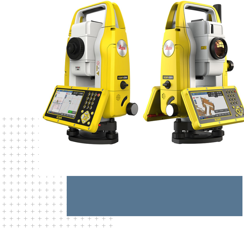
Surpad 4.2 for Android
Code:
SP4
£375.00
( Incl VAT VAT £450.00)
Powerful mapping and surveying software for Android Controllers
Add To Basket
Enquire about this product
Description
Reviews
SurPad 4.2 is a GNSS surveying and mapping software. Based on years of accumulating market experience, in combination with the international mainstream of surveying and mapping data acquisition function of the software, integrating RTK control, GIS data collection and road design and layout into one role. The main feature of the software is very outstanding graphic interaction, very powerful function and humanizes operation process.
A new UI interface style - You can choose a chart or list style according to your preferences, a more concise function classification, a fresh icon style, and a perfect professional user function.
Flexible function selection, easy to use - You can select and turn on/off the required survey function according to your preferences, and the function display is more concise.
Universal projection mode, unit - Built-in more than 1600 coordinate systems worldwide, the globally applicable projection mode, language, unit, file encoding, sweep the QR code parameter sharing.
Customizable function menus and display items - The menu bar on the left side of the survey interface can be freely switched, which is convenient for the user to select and use the required function, and the interface display is more concise.
Professional road function - Professional road construction stakeout, section, slope, abutment conical slope lofting function.
CAD function, real-time acquisition, mapping - Support CAD graphics real-time acquisition, real-time mapping function, calculate angle and area, custom layer, data import and export DXF.
Support for graphical marking of collection points - Support connection, survey and stakeout with the total station
Support the third generation tilt survey algorithm - The accuracy is not affected by external factors such as magnetic fields, and is generally better than 3cm.
Site elevation control - DTM Stakeout from Triangulation Model
Write A Review
Description
SurPad 4.2 is a GNSS surveying and mapping software. Based on years of accumulating market experience, in combination with the international mainstream of surveying and mapping data acquisition function of the software, integrating RTK control, GIS data collection and road design and layout into one role. The main feature of the software is very outstanding graphic interaction, very powerful function and humanizes operation process.
A new UI interface style - You can choose a chart or list style according to your preferences, a more concise function classification, a fresh icon style, and a perfect professional user function.
Flexible function selection, easy to use - You can select and turn on/off the required survey function according to your preferences, and the function display is more concise.
Universal projection mode, unit - Built-in more than 1600 coordinate systems worldwide, the globally applicable projection mode, language, unit, file encoding, sweep the QR code parameter sharing.
Customizable function menus and display items - The menu bar on the left side of the survey interface can be freely switched, which is convenient for the user to select and use the required function, and the interface display is more concise.
Professional road function - Professional road construction stakeout, section, slope, abutment conical slope lofting function.
CAD function, real-time acquisition, mapping - Support CAD graphics real-time acquisition, real-time mapping function, calculate angle and area, custom layer, data import and export DXF.
Support for graphical marking of collection points - Support connection, survey and stakeout with the total station
Support the third generation tilt survey algorithm - The accuracy is not affected by external factors such as magnetic fields, and is generally better than 3cm.
Site elevation control - DTM Stakeout from Triangulation Model
Reviews
Write A Review
Customer Reviews (0)